Cross-Country Skiing in Durango: Trails for All Levels


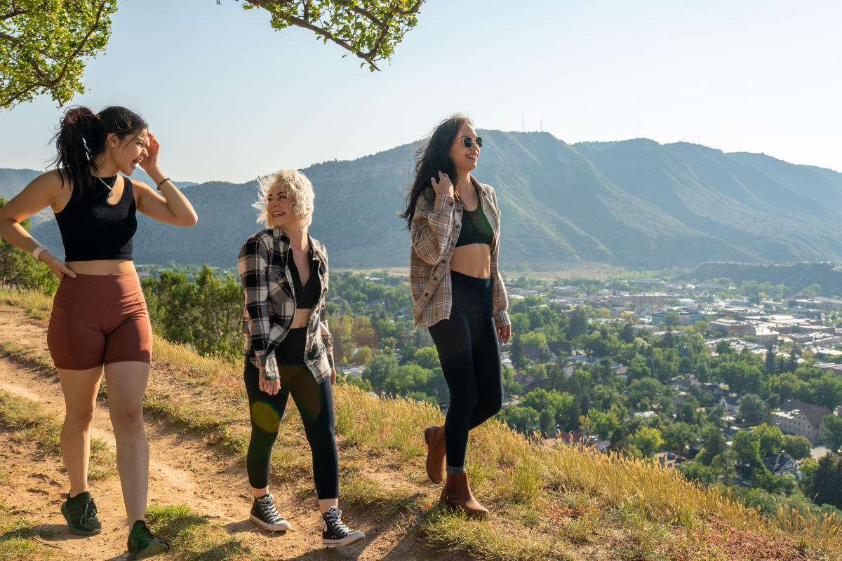
Hiking in Durango
Hiking in the Durango area is a surreal experience that few other destinations in the United States can match. Within 50 miles of town are yawning high deserts, towering spruce-fir forests, luscious alpine meadows, and secret caves to investigate. Every trek into the woods in our mountain community is a distinct experience, even if you’re visiting the same place twice.
It’s true: you’ll never run out of wonders to discover in this region. With a trusty hiking pole and two feet, you can avail yourself of the 300 miles of trails within 30 minutes of downtown Durango. Here’s the best part: it’s completely free. Durango is cradled on all sides by thousands of acres of public lands.
Because of its unique location in the Four Corners, Durango is a great base camp for all your hiking adventures. You can access a more comprehensive trail network that spans thousands of miles from downtown. If you don’t know where to start, that’s okay. Community resources include hand-curated trail maps, experienced guides, and comprehensive gear shops.
Places to Go Hiking
In and around Durango, there are 2,000 miles of trails to bike through, with various sights to see. Many visitors and residents will tell you that one of the first things you’ll notice is the versatility of our trail systems. You can find a trail that suits almost any alpine itch, whether you’re looking for a casual jaunt, a treacherous mountain trek, or a forest to get lost in.
Indeed, there’s a route for every hiker here, but there is one thing you can be sure to expect on all of them: elevation gain. If you come to Durango for a hiking experience, expect steep grades and low oxygen.
Hiking trails can be found in town, the mid-country, the high-country, and the areas surrounding Durango. If you get lost, many of these trail systems have handy trailside maps that are intelligently placed and accessible.
In-Town Durango
If you’re looking for a short trek in town, hikers have plenty of options. Various trail systems cover both ends of Durango, so you’ll always be within walking distance of at least one trailhead. In town, the trail systems are divided into three regions: west Durango, east Durango, and south Durango.
Almost all of these trails, except for Perins Peak State Wildlife Area and sections of Twin Buttes, are open year-round for your enjoyment. They are also well-maintained and usually in good condition.
West Durango Trail Systems
You’ll find three central trail systems in west Durango: Twin Buttes, Overend Mountain Park, and Perins Peak State Wildlife Area. It is here that athletic hikers can find the most complex grades. The 5.9-mile Perins Peak trail ascends about 2,000 feet in a short amount of time. However, many of these trails lack obstacles or rocky trail composition.
East Durango and Fort Lewis Trail Systems
East Durango has two central trail systems: Fort Lewis College and Horse Gulch. Both of these networks offer a fantastic view of the Animas River Valley. You should first try the Fort Lewis trail system for ease of access. However, if you want more of a challenge, check out Horse Gulch.
The Fort Lewis College trail system is approximately five miles, including the famous “Lion’s Den” to the north. It can be moderately difficult for hikers, but the most challenging ascent is up the 500 “Skysteps.”
A bit further east on Raider Ridge, hikers can connect with the Horse Gulch Trail System via the 0.7-mile Telegraph Trail. In this system, you can find 22 routes that vary wildly in difficulty.
South Durango and Three Springs Trail Systems
Moving south, hikers can discover two trail systems: Grandview Ridge and Three Springs. These trails are powdery, flat, and extensive.
Grandview Ridge is a collection of 11 multi-directional trails with varying difficulty levels. It is most commonly connected to the Horst Gulch Trail System in east Durango, but it can also be accessed from the Big Canyon Trailhead — just past Durango Motor Company on Highway 160.
Though it was built primarily for mountain bikers, the Three Springs Trail System is also an excellent location for hiking. It is smaller than the Grandview Ridge Trail System, only covering six miles, but it is perfect for a quick stroll.
Animas River Trail
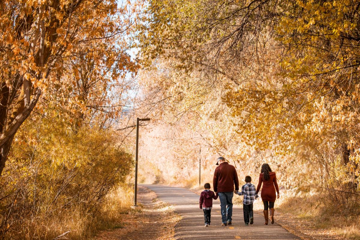
If you want to stay within walking of your favorite coffee shops, we recommend the 7.1-mile Animas River Trail. It is an entirely paved trail that follows the rolling water of the Animas River and is perfect for families, the elderly, and differently-abled hikers. It can be accessed from anywhere in town and gains a modest 337 feet when hiking north.
Mid-Country
If you’re looking for more of a challenge but are not quite ready for the mountains, try out the many hiking trails in our surrounding mid-country. You’ll find thicker forests, more wildlife, and potential secret locations here. Keep this in mind: one of the benefits of keeping to mid-country is the reduced exposure to the elements compared to high-country hiking.
Hermosa Area Trail Systems
The Hermosa Area trail system is a splendid collection of 14 routes spanning 105 miles. Here, you’ll find an abundance of wildflowers and San Juan Mountain views from every vantage point. Though it appears to be all downhill from the top of the network—don’t be fooled—some of these systems have seriously steep grades up punished rock. Don’t worry, though many trails are gentle fine-grain dirt powder.
Missionary Ridge Trail Systems
If you love high vantage points, aspen forests, and historical sites, then The Missionary Ridge trail system is for you. It is a 28-mile network of five trails with rewarding views of Durango. Here, you might stumble upon the 2002 Missionary Ridge Fire, a watershed moment for fire ecology in Colorado.
Many of the trails in this system are challenging, with elevation gains up gravel and dirt ranging from 1,500 to 3,000 feet. If you want to skip the trek, you can drive straight to the top from the mountain's base. There are also many unmarked old mining roads and U.S. Forest Service routes to explore.
La Plata Canyon Trail Systems
Visitors will find many opportunities to hike throughout La Plata Canyon along La Plata Canyon Road and Forest Road 561. Most of these routes double as OHV trails and eventually narrow into social trails as elevation is gained.
Here, you can find four main hiking outlets: the 3-mile Neptune Creek OHV trail, the 2.2-mile Basin Creek OHV trail, the 2.1-mile Columbus Basin trail, and the 8.4-mile Bedrock Creek Trail. Many of these trails require you to be physically fit with their steep elevation gains. In addition, you’ll need to be comfortable scrambling up scree and talus if you plan on exploring them past 11,500 feet.
If you want a more extended trip, consider hiking to the top of the 9.25-mile La Plata Canyon Road, which ends at Kennebec Pass. From this pass, you can access the famous 486-mile Colorado Trail.
Vallecito and Lemon Reservoir Trail Systems
Home to some of the highest manmade lakes in Colorado, the Vallecito and Lemon Reservoir areas are a spectacle to behold. You’ll find spruce-fir forests, expansive lakes, mountain views, and tons of sunshine here. You can also find some of the best hiking in the region here.
Situated 18 miles northeast of Durango, the Vallecito Lake Trail system has several routes to traverse. Most of these trails have a steep 1,000-foot increase in elevation rock starting from the reservoir. Over time, you’ll gain 2,000 more feet on gentler grades on dirt. The difficulty varies from trail to trail, but most are intermediate in terms of challenge.
Two miles to the west, the Lemon Reservoir trail system has just one route: Youngs Canyon Trail. It gains about 2,000 feet of elevation up rocky paths in 4.5 miles, and you’ll have to ford a stream to continue from the trailhead.
Haviland Lake Trail Systems
20 miles north of Durango, between Highway 550 and Elbert Creek, you’ll find the Haviland Lake trail system. Harem, you can easily stroll on 11 meandering dirt single and double tracks. This system only gains 550 feet from base to top and is good for beginners or elderly hikers.
Here’s a pro tip: if you hike to the southern ridge in this system, you may find a series of caves that overlook the Glacier Club.
Church Camp Trail System
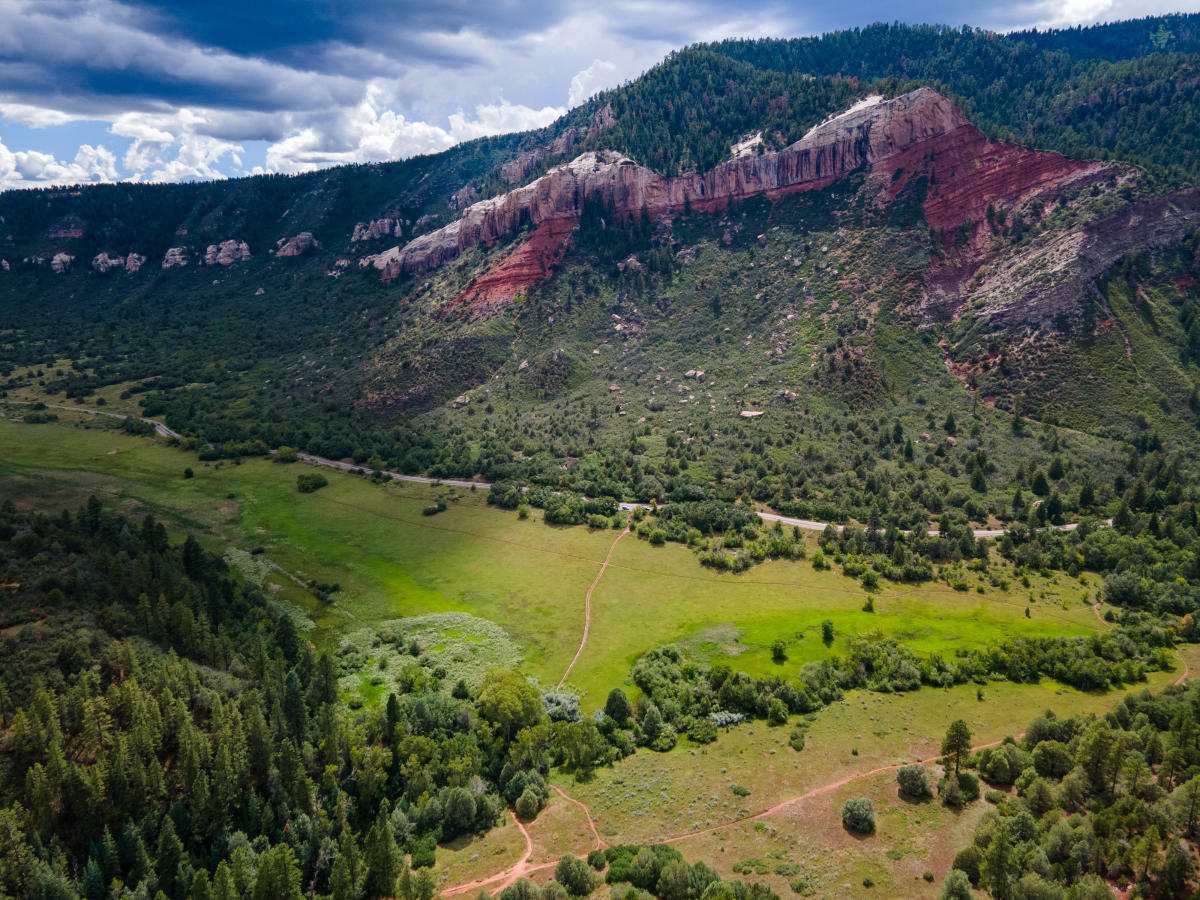
The Church Camp Trail System loops through a picturesque hidden valley with tall grass and Ponderosa Pines. To the east, you can glimpse the layered Hermosa cliffs across the Animas River Valley. It’s no surprise that this is one of the best hiking spots in the mid-country.
The hiking routes here meander through open meadows, ponderosa thickets, and mountain gulleys in short order. You will have a gentle dirt grade to work through, except on the northern section, where there is a sharp 400-foot drop and ascent. There are very few obstructions or obstacles in this trail network, and we recommend this area for new hikers.
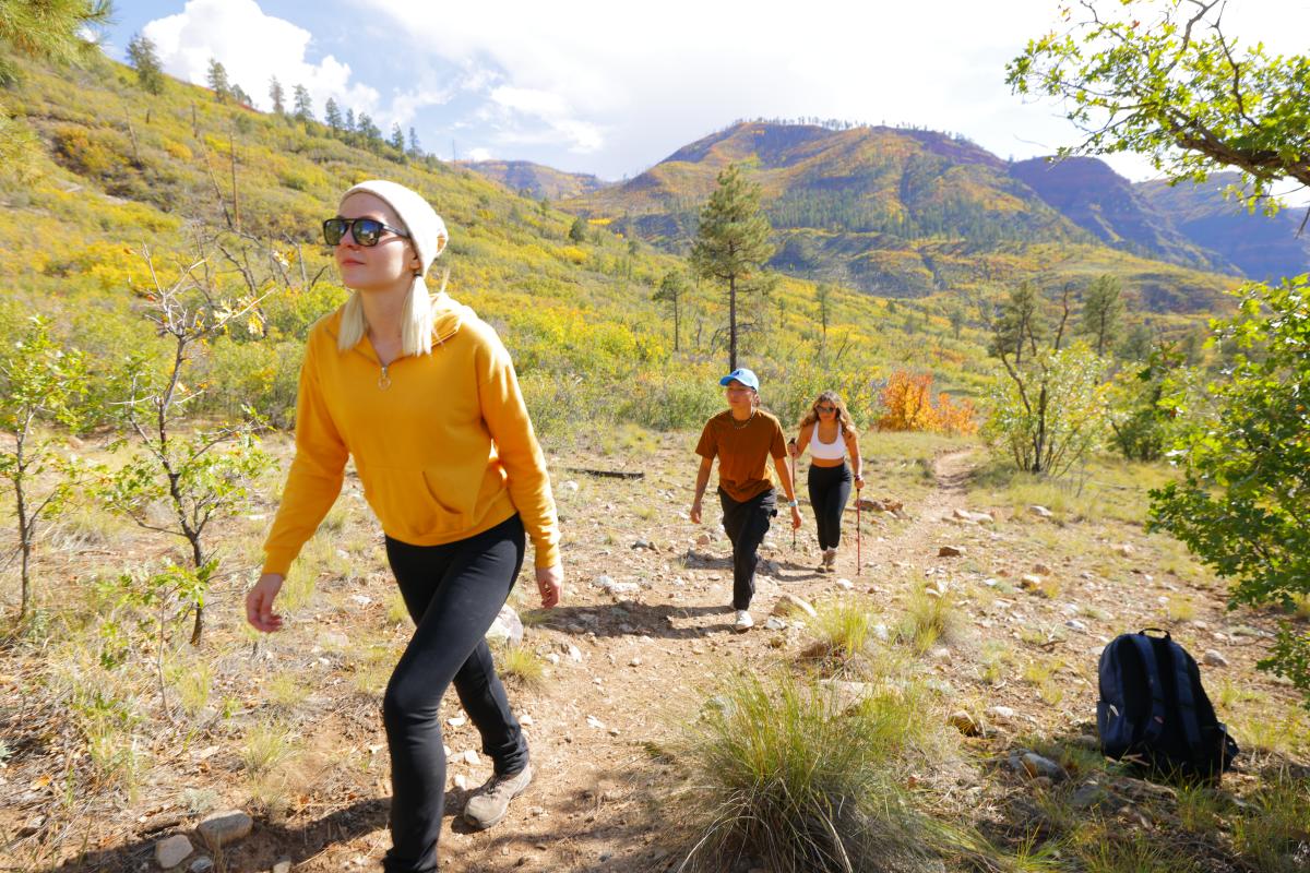
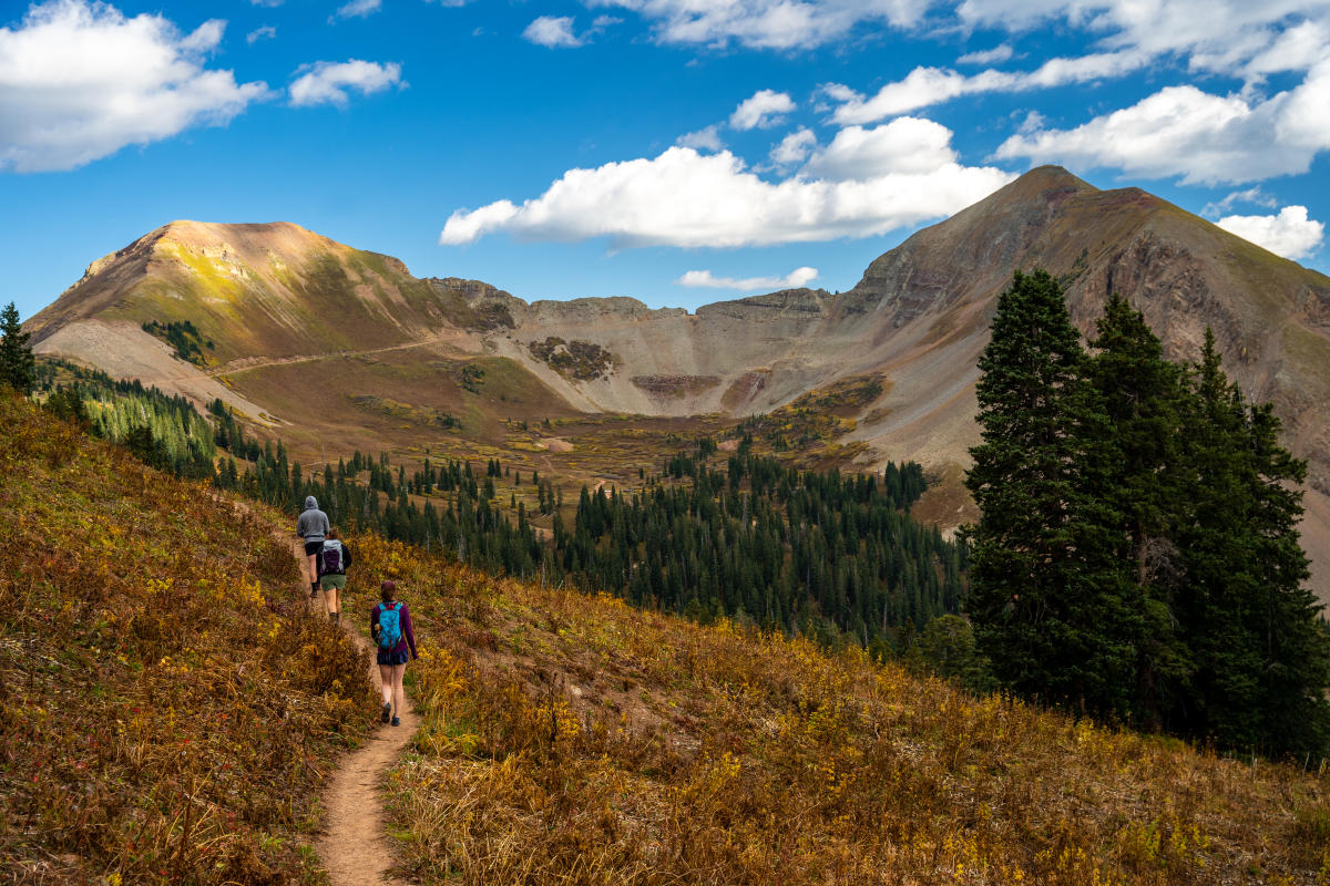
High-Country
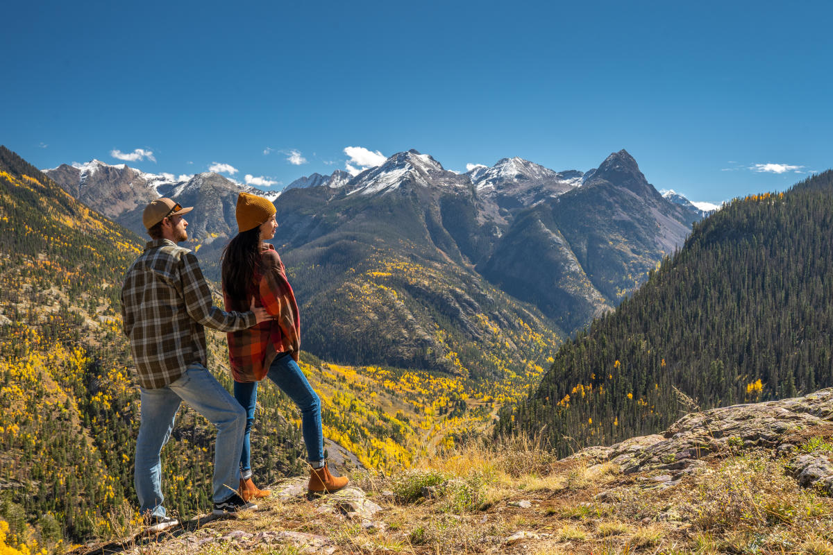
Hiking in the high country near Durango is one of the main points of pride for the Durango community. Though high-country hikes are the most intensive, they are also richly rewarding. To view the American Southwest from high elevations is an experience that brings out the inner child in even the most grizzled of backcountry enthusiasts.
It should be noted that many of the trails in the high country are seasonal and are only open from May to mid-October.
Molas Pass Trail Systems
Molas Pass is an exceptional area near Silverton, Colorado, with grand views of the San Juan Mountains. Here, you can hike the 4.4-mile Molas Trail and the 8.9-mile Elk Creek Trail, which are sections of the Colorado Trail. Starting from Molas Trail, you’ll descend a rocky path to grassy, riparian meadows next to the Animas River. At the trail's end, you’ll connect with Elk Creek Trail.
Both trails offer fantastic views of the Needle Mountains and Grenadier Range to the southwest. Be advised that these routes experience heavy traffic as they are a part of one of the most popular thru-hikes in Colorado.
Coal Bank Pass Trail Systems
The Coal Bank Pass trail system is 27 miles north of Durango and is comprised of six trails spanning 23 miles. These trails, which range from beginner to advanced, feature spruce-fir and streamside willow forests, meadows filled with wildflowers, and Cascade Creek. Most of the trails in this system art on dirt singletracks, though you may be scrambling up scree and talus as you ascend. Try the more popular 6.1-mile out-and-back Engineer Mountain trail if you're after mountain-top views. Be advised that Engineer Mountain (12,970 feet) is tough.
Weminuche Wilderness Trail Systems
Just 17 miles northeast of Durango, you can find the massive Weminuche Wilderness trail system. This wilderness spans 499,771 miles, and its trails are no less impressive in scope. The most popular access point for this region is the 37.3-mile Elk Park Train Stop to Needleton.
You can also try the famous Fourmile Falls via the 3.1-mile Four Mile Stock Drive Trail near Pagosa Springs, Colorado. Or, you can link up near Pagosa Springs, Colorado. Or, you can link up with the 486-mile Colorado Trail.
Surrounding Areas
If you want to see more of the American Southwest, there are plenty of places near Durango to do just that. Our neighbors in Mesa Verde, Cortez, Mancos, Dolores, and Silverton have well-maintained trails to lose yourself in. Don’t stray too far, though: we still have some of the best routes in our own backyard.
Many of the trails in this list, except those in Silverton, are open year-round.
Mesa Verde National Park Trail Systems
If you want to see the high desert side of the Four Corners, then explore Mesa Verde National Park, 48 miles west of Durango. Here, intrepid hikers can discover a 12-trail system spanning 30 miles. These trails range from easy to moderate in difficulty but are well-maintained and take place on powdery red dirt. On some trails, you may find obstructions like roots and rock.
If you find any cultural pieces during your hike, please leave them where you found them. This area is a sacred location to 26 Indigenous tribes.
Cortez and Mancos Systems
In Cortez and Mancos, you can find hiking trails that are more flat and dry than their Durango counterparts. Don’t mistake that for easiness, though. These trail networks can cover much longer distances.
Near Cortez, mountain bikers can avail themselves of Phil’s World, a massive trail network with 47 multi-difficulty trails that span 78 miles. At most, you’ll gain 500 feet of elevation in this trail system.
You can also find three other popular trails outside Phil’s: the 2.5-mile Highline Loop, the 6.3-mile Sand Canyon trail, and the 4.25-mile Chutes & Ladders trail. None of the routes listed outside Phil’s are challenging, as they each gain only 200 feet in elevation on easy dirt singletracks.
Near Mancos, hikers can explore the well-groomed 15.2-mile Chicken Creek Trail System. Here, the elevation gain from the bottom of the system is approximately 750 feet and is usually up gravel and dirt tracks. Though you’ll encounter open meadows, these hikes mainly occur in a Ponderosa Pine forest. Hikers should try out “The Whole Chicken,” which yours the entire Chicken Creek system.
Dolores Trail Systems
Located 46 miles west of Durango, the Dolores Trail System has 29 trails along the edge of the La Plata Mountains. Most of these trails are easy, though some can be challenging.
The most popular trail in this system is the 8.4-mile Boggy Draw Trail, a moderately challenging loop that cuts through a series of marshlands. Another popular trail in this network is the 8.8-mile McPhee Overlook Trail, which offers fantastic views of the McPhee Reservoir.
Silverton Trail Systems
48 miles to the north of Durango, there are a staggering 60 trails to hike near Silverton, covering 352 miles of the San Juan Mountains. Though there are moderate hikes, some Silverton trail system routes are highly intensive, requiring a hiker’s full attention as they drop through various fields of scree and talus. That said, some areas in this system have more leisurely dirt singletracks.
Things to Know About Hiking in Durango
-
The sun is much stronger at higher altitudes, so liberally apply and reapply sunscreen every two hours.
-
Practice proper trail etiquette when hiking.
-
If you’re struggling with altitude acclimation, visit the Altitude O2 Oxygen Bar.
-
Weighted squats and deadlifts can help prepare you for hikes with lots of elevation gain.
-
If you have a few weeks to train, you can also do repeats up the Skysteps near Fort Lewis College.
-
Bring plenty of water and food with you.
-
Bring a rain shell or other water protection if you hike in the late summer.
-
If you plan on going into the backcountry, leave an itinerary of your trip with someone you trust. Also, bring a satellite-capable communication device if you can afford it.
-
You can find data on current trail conditions for Durango-based routes here.
Care for Durango
-
Purchase a CORSAR card before going out into the backcountry.
-
Follow Leave No Trace (LNT) principles.
-
Do not engage with or feed the wildlife.
-
Practice proper trail etiquette.
Pledge to Care for Durango